$499.95
Description
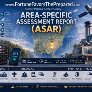
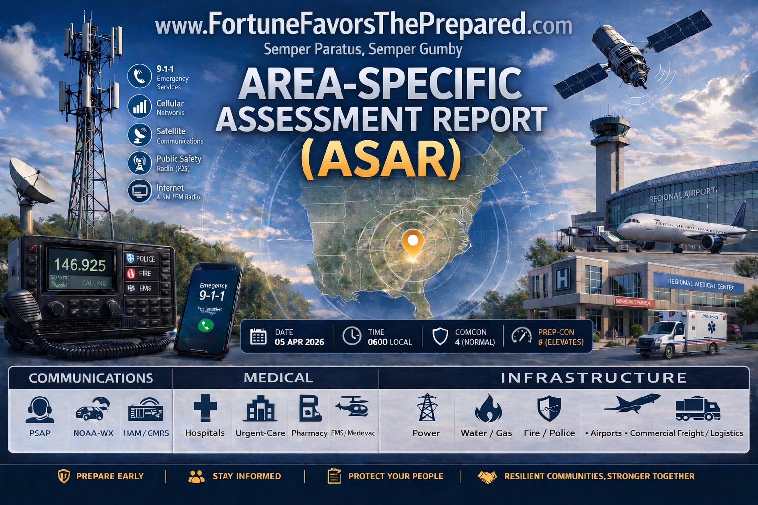
Regional intelligence for people who coordinate response, not just households. The 300-Mile ASAR is built for MAG coordinators, CERT team leaders, EM planners, corporate resilience teams, and consultants who need the regional picture across a defined territory.
**What’s different at 300 miles:** In addition to full COMMS, MEDICAL, and INFRASTRUCTURE coverage, the 300-mile tier includes:
• HAZMAT facilities — Tier II reporters, chemical plants, pipelines, rail HAZMAT corridors
• Nuclear facilities — operating reactors, SAFSTOR sites, emergency planning zones
• Major dams — high-hazard potential dams, inundation zones, downstream risk nodes
These layers exceed the operational footprint of a household plan but become central at regional scale.
**Best for:**
• MAG coordinators building a shared regional reference
• CERT team leaders with a defined response territory
• Emergency managers producing a baseline for a municipality, campus, or facility
• Corporate resilience and continuity planners
• Consultants who need a defensible, sourced deliverable for a client
**Delivery:** Custom-built after intake. Production time is longer than smaller tiers because research scope is substantially wider — a confirmed delivery window is provided after intake is returned. You receive a digital PDF and Word document formatted to drop into the Family Emergency Plan Workbook or a custom regional binder.
**Need a printed binder?** Order the 300-Mile ASAR + Workbook Kit.
**Blanks, not guesses.** At regional scale, some data gaps are inevitable. Every gap is documented with a note on where to verify locally. Honest data or nothing.